Fall is coming to an end in northern Arizona but by hiking the West Fork Trail in Sedona, you can still catch a glimpse of those beautiful colors. West Fork Trail, 9 miles north of Sedona, is one of the more popular hiking trails in Arizona and is well-known for its beautiful creek crossings and canyon walls.
Hiking Trails – West Fork Trail & Devil’s Bridge | Arizona
Getting there: Call of the Canyon (West Fork Trailhead) parking lot fills up quickly during this time of year and parking is $10. Expect a line to get into the lot or find parking north on the road where there are no “No Parking” signs or else you may be towed.
The West Fork Trail hike is approx 6 miles round trip and is rated as an easy hike.
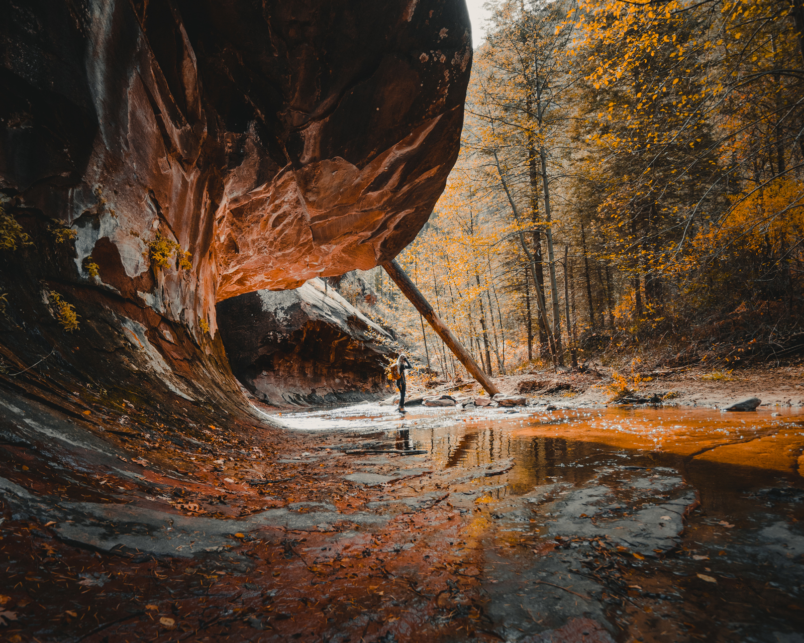
Fall colors are all over this canyon and the reflections along the creek are more than magnificent. We spent a couple hours just walking along the creek taking photos, enjoying some snacks, and having good conversation along the way.
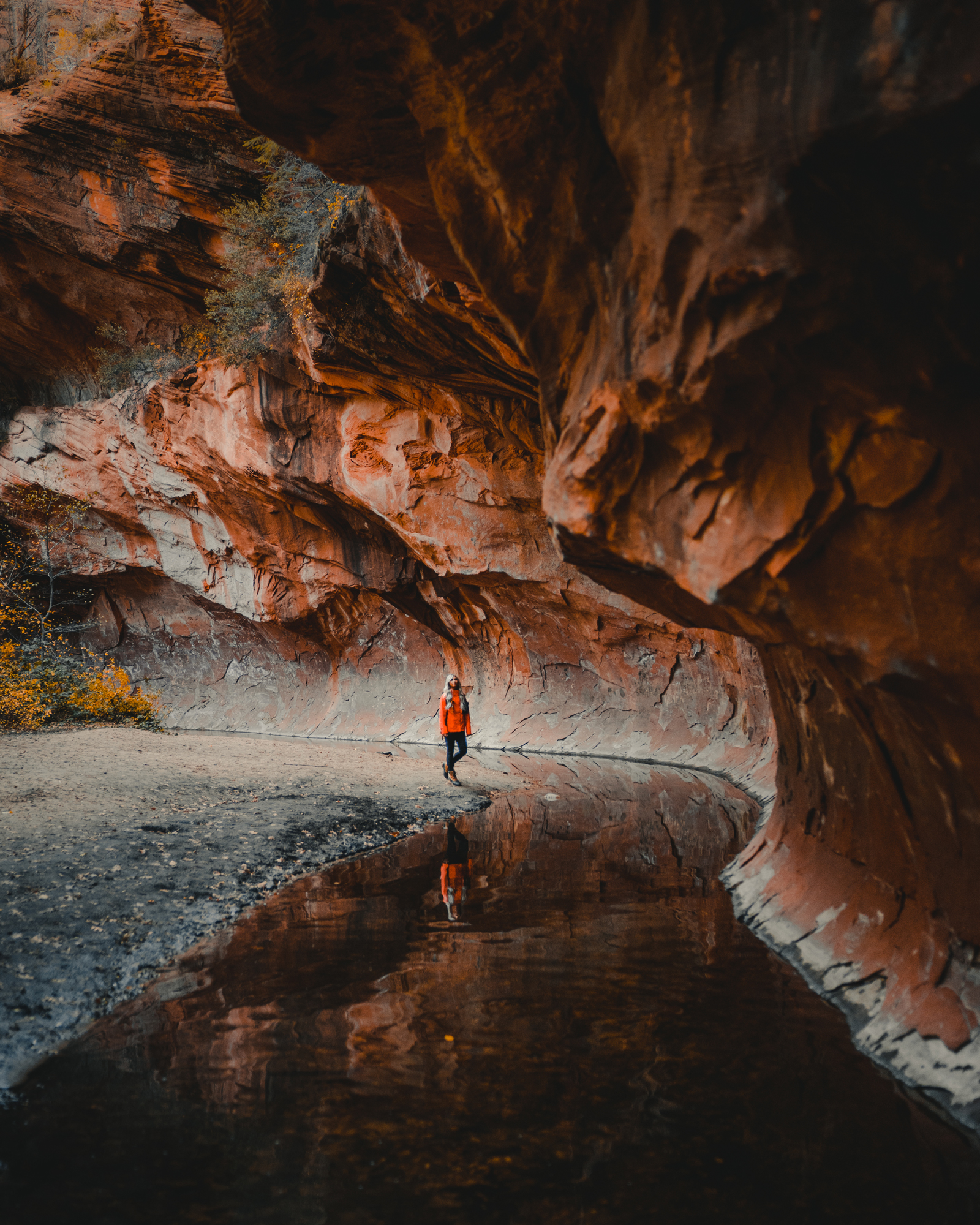
The spot above is off your right as you first begin the hike from the trailhead. The cool breeze blows the vibrant yellow and orange leaves right into this winding creek.
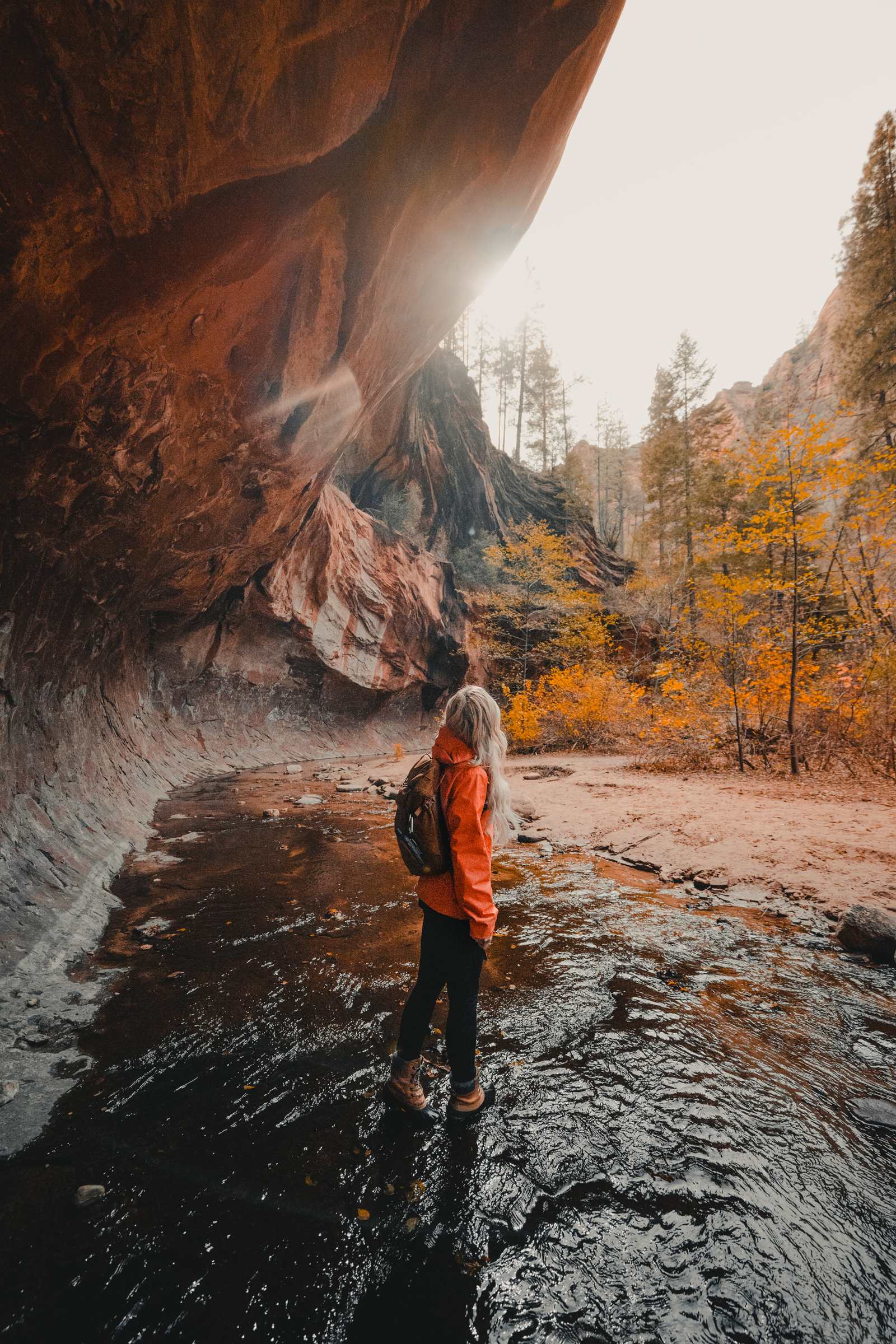
There are about 13 very shallow creek crossings here, be prepared to get your feet wet.

It was a little chilly out in early November so bring a jacket! I wore a sweatshirt under my North Face jacket that I got from Dick’s Sporting Goods. I also wore my waterproof Sorel Boots. Looking forward to wearing it on more trips this winter in the snow! Got a bright color this time so it’s easier to spot me on the trails. They have some great outdoor adventure gear including some other items I often use, like my GPS, which can be found in my hiking gear post here.
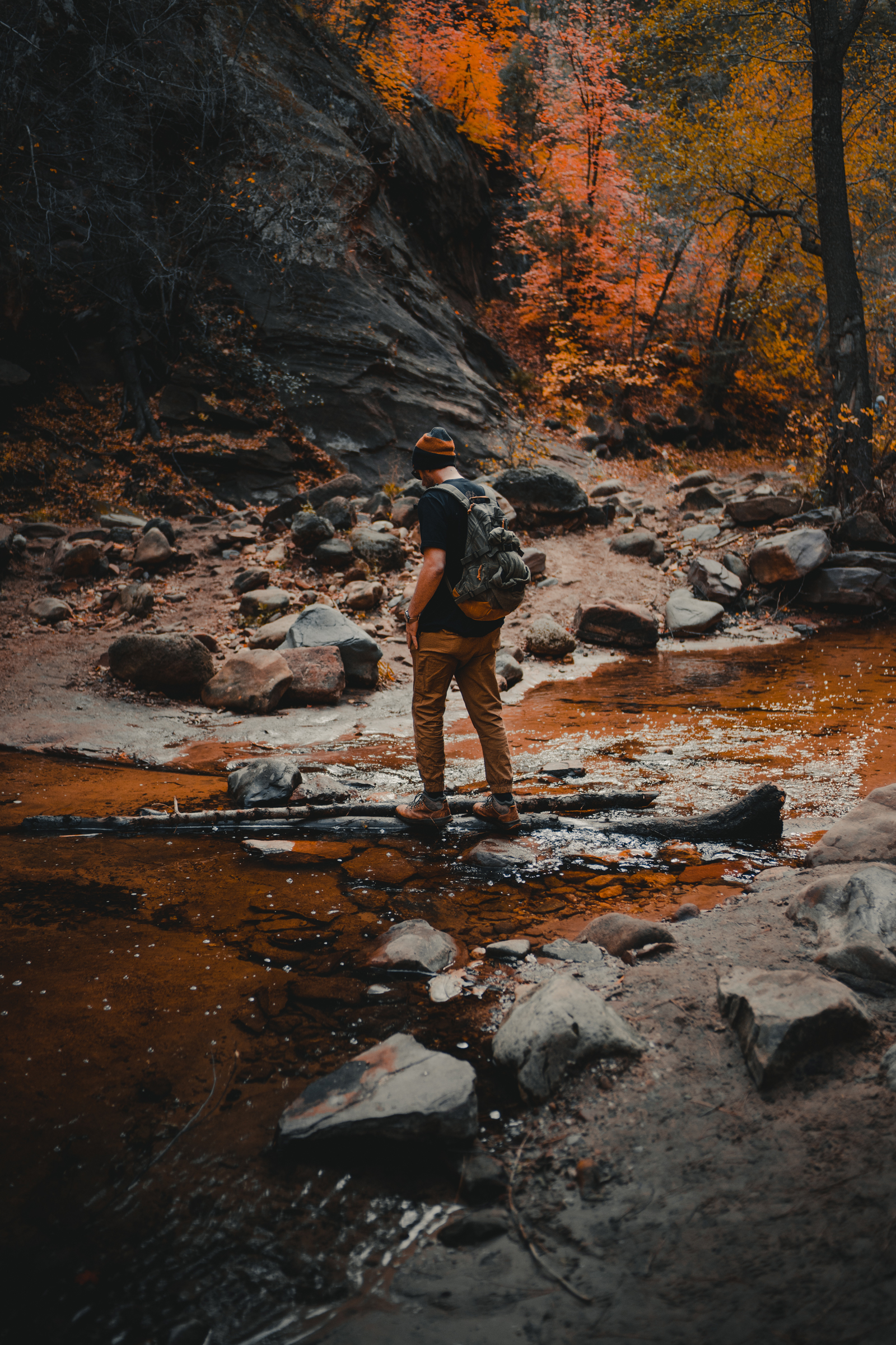
The trail is very easy to follow and we decided to turn back halfway and not go to the large pool at the end so that we could head back into Sedona and catch a sunset from Devil’s Bridge, another popular hiking destination.
Getting to Devil’s Bridge
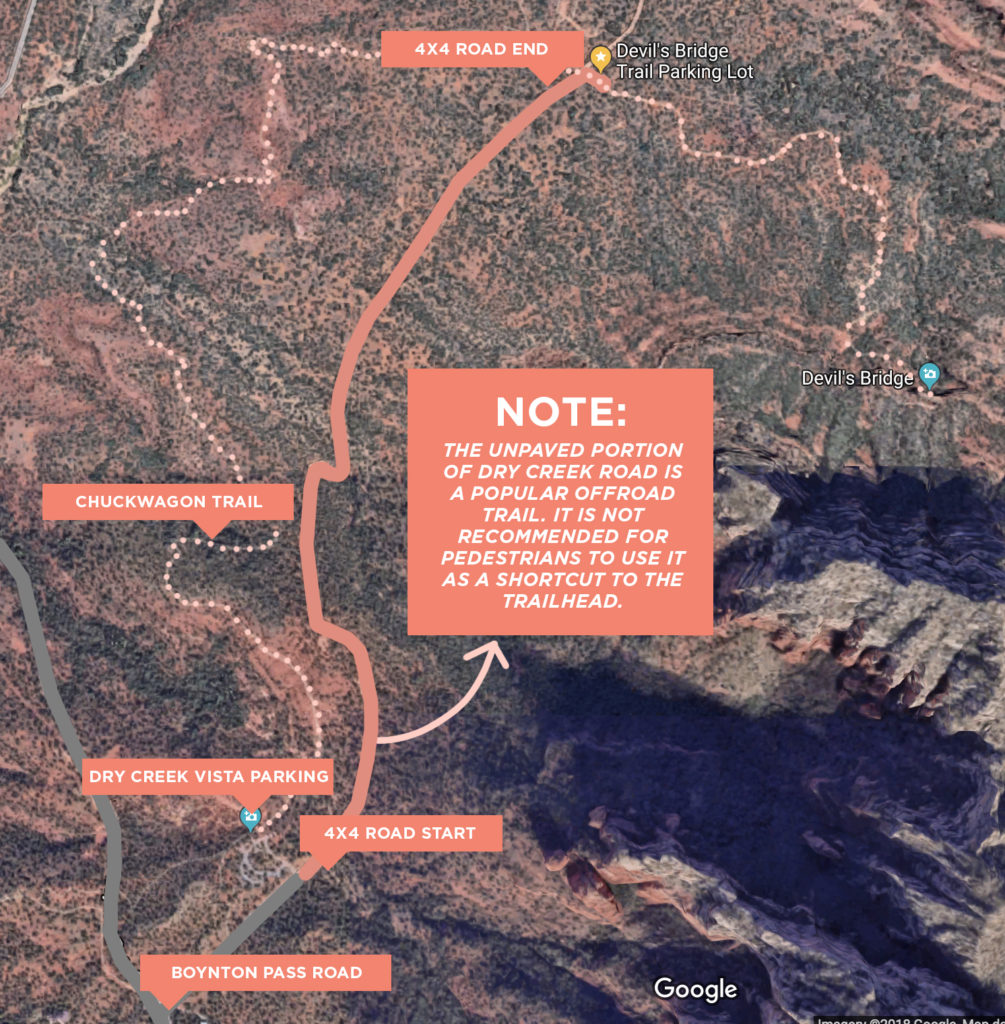
I had done this hike a couple of years previous and was looking forward to taking the 4×4 road this time with the truck. If you have a high-clearance vehicle, you can take Forest Road 152 to the true start of the trailhead; this makes the hike 1.8 miles roundtrip. OR, If you don’t have a vehicle that can make it, you’ll have to park at the Dry Creek Vista Trailhead which makes it 5.8 miles roundtrip. Click here to see this trail on a Google map and look at my map below for more context.
Devil’s Bridge Map
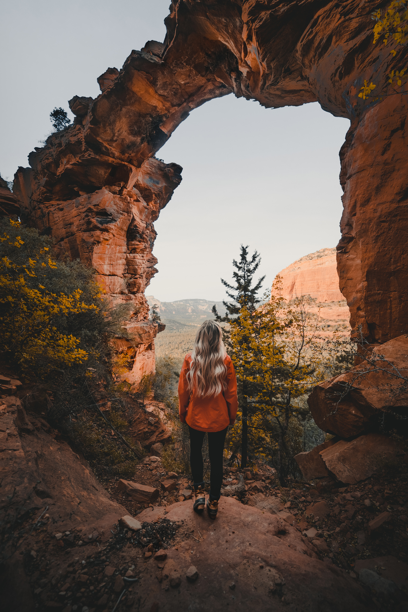
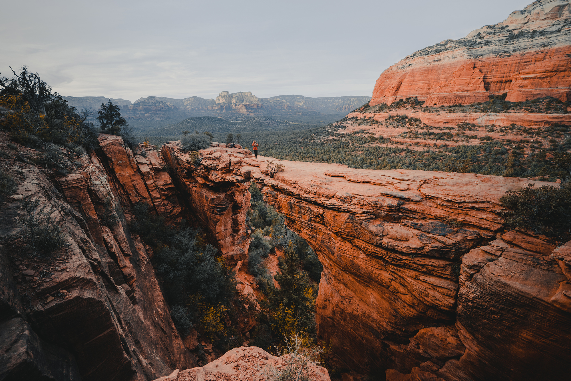
Overall, it was a wonderful day of hiking and we got lucky with some last remaining fall leaves that made the trip unforgettable. Both of these hiking trails are must-see spots in Sedona & I promise you won’t be let down!
Don’t forget to make sure to pack out what you pack in! Came back to find that hikers used my truck bed as a trash can, which is also NOT COOL.

I was happy to collaborate with Dick’s Sporting Goods on this adventure.
West Fork Trail Overview:
- Easy Hike
- 7.2 miles Round Trip from the parking area
- The charge for the day is $10 per vehicle, walk-ins and bicycles are charged $2.00 per person
- There are shallow creek crossings! Be prepared to get your feet wet.
Devil’s Bridge Trail Overview:
- Moderate Hike
- 5.8 miles ( round trip ) from the main parking area via Chuckwagon Trail or take the 4X4 trail with a high clearance vehicle like we did and it’s only 1.8 miles (round trip ) from that point. Devil’s Bridge Location
- The parking lot is free, however, it is required to have a Red Rock Pass to park there. These can be purchased at many of the gas stations and visitor stations in town.
- There are no supports, chains, etc, as it should be. Don’t ruin it for others & stay safe and use good judgment when walking nearby or across the bridge.
Images Credit: Timothy Cheston & Ashley Ann
